Contacts and Location
| Contact 1 | Jānis Tērauds |
|---|---|
| Enquire about this equipment | |
| Organisational Unit |
Baltijas jūras ģeoloģijas centrs - Latvia, Rīga |
Description
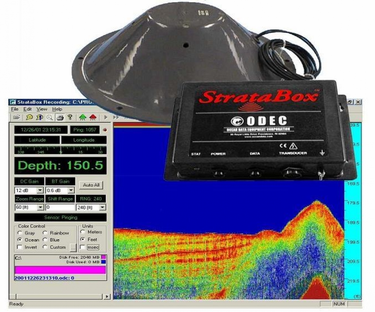
Measuring equipment complex based on the StrataBox Sub-bottom Profiler that allows to detect and measure the thickness of dredged material deposits, detect hard substrate that has been covered by sedimentation, identify buried objects (such as cables and pipelines), and define the basement (or bedrock) layer for potential confined aquatic disposal sites for dredged material. This high-resolution marine sediment-imaging instrument is capable of delivering 6 cm of marine sediment strata resolution with bottom penetration of up to 40 meters in water depths of up 150 meters.
Specification
The system consists of:
Services